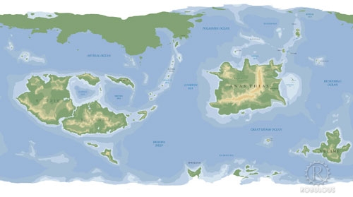
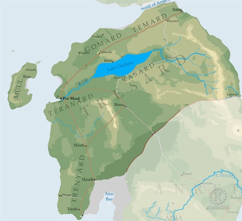
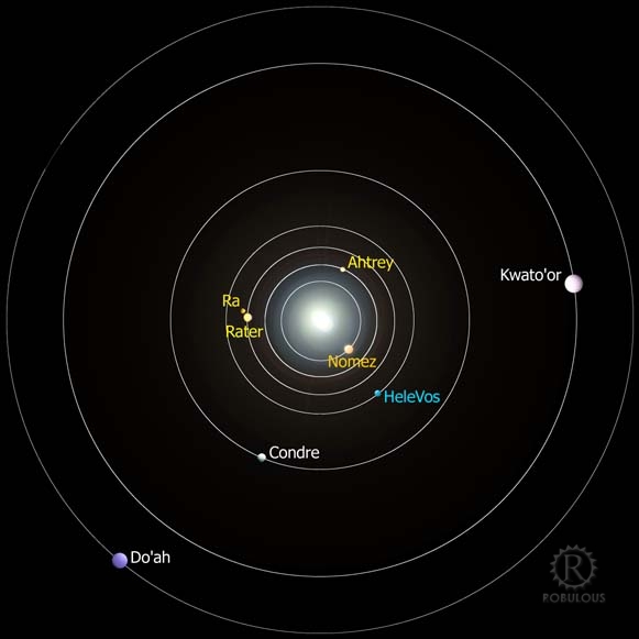
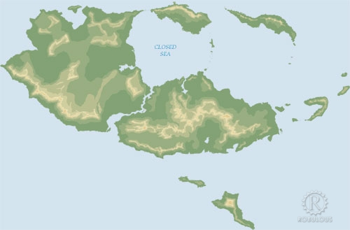
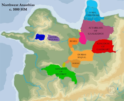
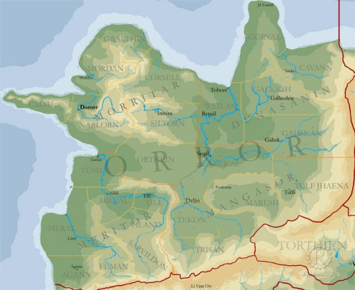
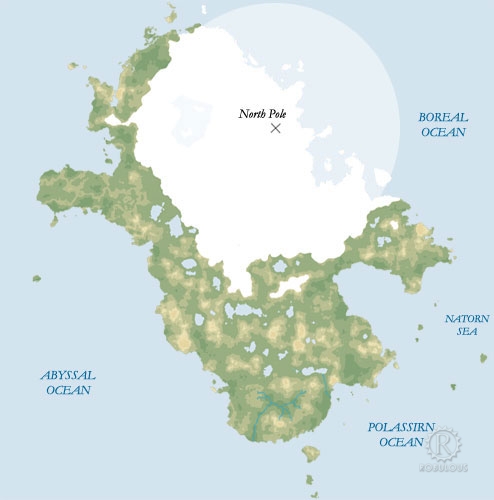
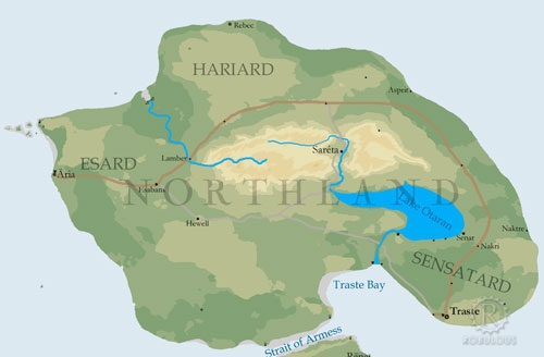
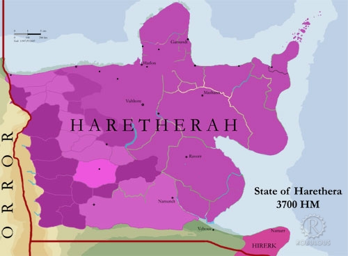
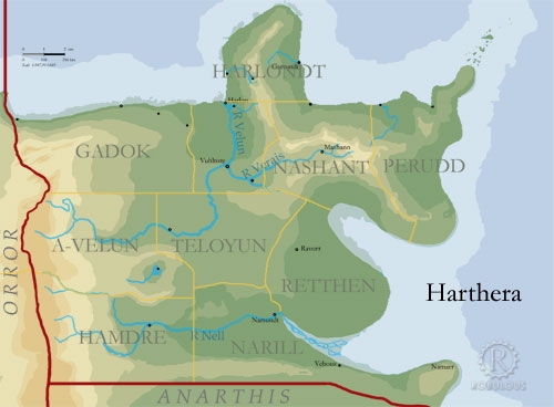
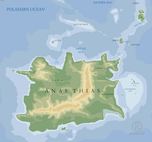
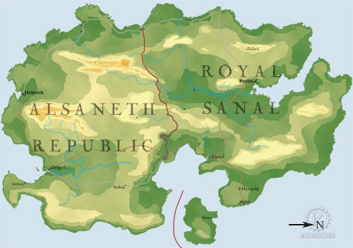
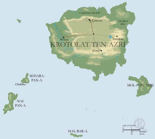
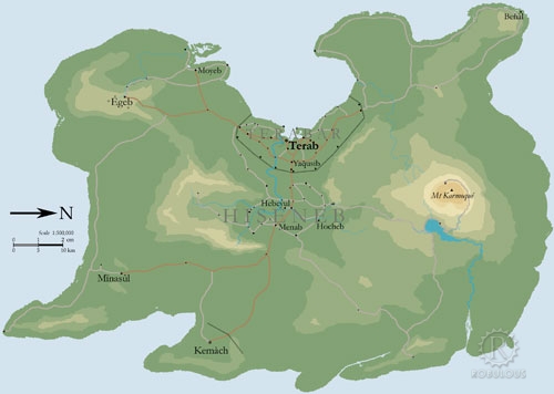
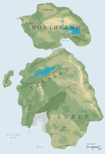
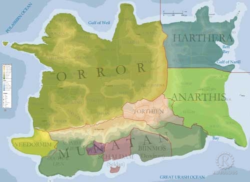
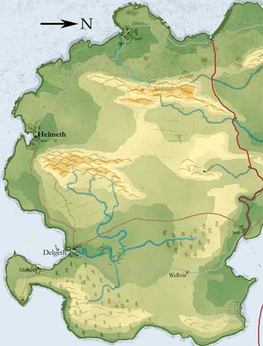
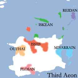
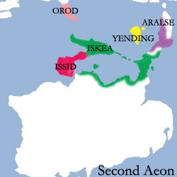
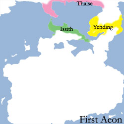
V3 Old Digital Maps
These maps are the third incarnation of Helevos - coloured digital conversions of my hand drawn maps.
I filled out the world with a new continent on the far hemisphere, and the north and south poles. I put a lot of work into the maps but wasn't really happy with how the world looked as a whole.
I like to think of these versions like our real world old maps, before people really knew what the world looked like.


gallery/helevosv3.txt · Last modified: 2021/09/25 05:58 by Robert How · []