| Modern Political Mapplugin-autotooltip__small plugin-autotooltip_bigAtlas: Anásthias
[fmap-anasthias.png] * Zoom out * Holy Motherland of Ororr * Union of Harthera * Region of Otekahré * Region of Taur-dji-Oum * Region of Munatan * Zoom Out * Vetthi Republic
| Modern Political Map | Geography | Poster version | 1st Century History |
atlas
Anásthias
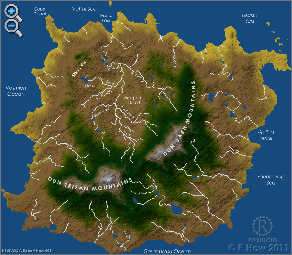
Anásthias [a-NAS-thee-ass / ænæsθiːæs], or [an-ass-THEE-as] is an equatorial island continent, heart of the Civilised World. The north straddles the equator and is hot and humid, while most o… | Geographyplugin-autotooltip__small plugin-autotooltip_bigAtlas: Anásthias Geographical Features
[map-anasthias_geog.png] * Zoom in * Zoom out * Ororr * Harthera| * Otekahré * torthien * Munatan * Zoom Out
| Modern Political Map | Geography | Poster version | 1st Century History | | Poster versionplugin-autotooltip__small plugin-autotooltip_bigAtlas: Anásthias (Poster version)
[Zoom out?]
Hover mouse/tap image to magnify
| Modern Political Map | Geography | Poster version | 1st Century History |
atlas
atlas | 1st Century Historyplugin-autotooltip__small plugin-autotooltip_bigAtlas: Ancient Anásthias in the 1st Century ME
[Zoom out?]
atlas
Anásthias
Anásthias [a-NAS-thee-ass / ænæsθiːæs], or [an-ass-THEE-as] is an equatorial island continent, heart of the Civilised World. The north straddles the equator and is hot and humid, while most of the equatorial centre is an upland plateau with fertile river valleys, and stretches of arid plains and desert in the shadow of the mountains. The south is temperate but more wild, separated from the civilisations of the north… |